
Tracy Neighbor Block Sources
A block lookup is a layered map exercise. District Viewer supplies geometry and parcel facts. The recorder supplies title parties after an APN or name bridge. Voter walking lists exist for approved purposes but are not a public block list. Community and historical sources add public contacts or past households without exposing a private member roster.
| Source | What it shows about a block | Access |
|---|---|---|
| San Joaquin District Viewer | Adjoining polygons, APNs, situs, characteristics, ZIP, districts, hazards | Free web map; click or Near |
| Assessment and tax channel | Values, exemptions, bill and mailing route for a parcel | Web search or county staff; owner hidden online |
| Recorder index | Owners and title parties after an APN or name bridge | Online from 1968; counter earlier |
| Voter walking list | Approved registered-voter records by precinct, street, and number | Purpose-limited application |
| City districting and civic pages | Council districts, communities of interest, boards, and public contacts | Free city pages and agendas |
| Directories and census | Dated households or past occupants around a street | Library, archive, or authorized access |
Owners are not the same as occupants. A mailing address can sit outside the block. Renters, guests, minors, and protected participants may not appear. That is why the word neighbors should be tied to the record relationship rather than treated as a claim about every household.
Mapping Tracy Neighbors
The adjacent-parcel method begins with a seed address or polygon. In the San Joaquin District Viewer, search the number and legal street name, or click a parcel. Pan and zoom until boundaries show. Click parcels on both sides, behind, and across the street. Each selection opens a new APN, situs, and characteristics record.
- Search the seed address without a direction or Street, Road, or Drive suffix.
- Save the seed APN, situs, ZIP, post office, city-limit, and district fields.
- Click each adjoining polygon and record its APN and situs, keeping each parcel separate.
- Use Near beside Street Number for a linear block, but remember that serial APN proximity is not a shared boundary.
- Carry each APN to a deed or assessor channel, then label the result owner, title party, or occupant clue.
The Tracy GIS ZIP layer demonstrates the parcel-side geography that helps separate a postal block from a city block.
For a whole named street and its full address chain, use the Tracy street records route. The neighbor search stops at the immediate block and community layer.
[RESEARCH GAP: The manifest did not produce a successful full parcel-viewer screenshot showing adjoining Tracy parcels; inspect the live District Viewer for current neighbor geometry.]
Tracy Parcel Viewer Fields
District Viewer Details can show APN, situs, acreage, use code, year built, living area, stories, bedrooms, whole and half baths, fireplace, garage, pool or spa, APN history, and a broad district set. The geography fields include City Limit, Sphere of Influence, Post Office, ZIP, supervisor, school, fire, water, sewer, General Plan, community, and zoning.
- Near
- A shortcut to about fifty nearby consecutive APNs or nearby street numbers. It is not a radius or shared-boundary query.
- Assessment map
- A PDF or map view that helps read lot, book, page, and parcel arrangement.
- Layer list
- Map controls for boundaries, basemaps, coordinate lookup, measurement, drawing, printing, and attribute display.
- Owner field
- Hidden from the public web view, so owner research must use a counter or recorded instrument.
The GIS was created in 1996, with a free-data snapshot dated July 6, 2026 and EPSG 2227 noted in the research. Free downloads include parcels, APN Book Index, limits, annexations, ZIP, streets, address grids, zoning, districts, hazards, and census geography.
Tracy Owners and Occupants
A parcel owner may live at the situs, receive mail elsewhere, hold title through a trust or entity, or own an unoccupied property. The tax portal’s sample bill separates owner, location or situs, mailing route, value, exemption, tax area, and installment detail. A homeowner exemption says something about principal occupancy under penalty of perjury, but it does not name every household member.
Owners and occupants can also diverge in a directory. A historical city directory may place a renter at an address. A permit may name an applicant or contractor. A court record may show an attorney or service address. Each name needs its source label before it can be used to describe the block.
Block note. Record three separate fields for each parcel: situs, mailing address, and legal description. A matching street line alone is not enough.
The county recorder’s party index can supply title chronology, but the online index is a pointer and starts in 1968. Older owners require the counter’s digital or film books and maps to 1851.
Tracy Voter Block Limits
San Joaquin’s voter-data form explains that walking lists can be ordered by precinct, street name alphabetically, and street number numerically. It also requires an approved Election, Political, Scholarly, Journalistic, Record Review, or Vendor purpose, photo ID, original wet signature, detailed security explanation, and mail or in-person delivery.
Specific-voter requests can include up to ten names with first and last name, date of birth, current or former address, and other identifying detail. The inspected form quotes seven to fourteen business days, encrypted WinZip email or FTP delivery, and a $68 countywide file fee. Harassment, marketing, unauthorized transfer, and public unsecured posting are prohibited.
California My Voter Status is for the authenticated voter. It can show registration and election information to that person, not an arbitrary neighbor’s address. A stale registration should not be treated as proof of current presence because returned ballots are not forwarded.
Tracy Council District Geography
Tracy moved to four council districts in 2026. Districts 1 and 3 vote in 2026, districts 2 and 4 in 2028, and the mayor remains at large. The city districting page preserves maps, demographic reports, hearing material, street-level tools, and community-of-interest submissions.
This is a new official layer for a block. Two nearby parcels can share a council district even when their ZIP, subdivision, post office, or sphere-of-influence labels differ. Public comments can explain a community’s chosen geography, but contact details in testimony should not be republished as a private neighborhood roster.
The Tracy districting archive is the current city source for council and community-of-interest geography.
Tracy Community Records
No complete public Tracy HOA or neighborhood-association member directory was verified. The usable community layer is made of public organizations, city boards, districting submissions, downtown resources, and business or civic contacts. Those sources can help a person learn how a block is organized without exposing a private household list.
| Community source | What it can add | Boundary |
|---|---|---|
| Tracy boards and commissions | Member names, appointment dates, term expirations, civic role | Public role, not home roster |
| City districting and COI maps | District shape, hearing record, community descriptions | Do not turn testimony into a contact list |
| Greater Tracy Chamber | Business name, category, location, public representative | Business directory, not resident directory |
| Tracy City Center Association | Downtown dining, shopping, services, arts, and events | Public downtown resource layer |
| National Night Out and city contacts | Public event or civic contact route | No private member roster verified |
The distinction between an association’s public contact and its member roll is key. Ask for a public organization contact, not a list of household names.
[RESEARCH GAP: No complete public Tracy neighborhood-association or HOA directory was verified in the research or manifest.]
Tracy Neighborhood Organizations
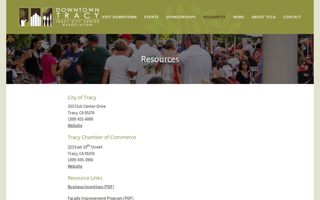
The Tracy City Center resources page organizes public downtown resources by Dining, Shopping, Parking, Services, and Arts and Entertainment. The Greater Tracy Chamber directory at 223 E. 10th Street lists (209) 835-2131 and info@tracychamber.org and supports keyword, name, and category browsing.
The Downtown Tracy resource page shows the kind of public organization layer that can sit beside a parcel map.
Use a chamber or downtown directory to corroborate a business affiliation or locate a public-facing group. Pair it with city licensing, county FBN, or Secretary of State filing data when legal entity identity matters. None of these sources proves who lives in a nearby home.
Tracy Neighbor Source Comparison
Official records and compiled commercial neighbor tools have different strengths. Official sources have a named custodian, a defined field, and a stated access rule. A compiled product may merge filings, purchased data, and stale address trails. Category-level comparison is enough to choose a first source without turning a commercial tool into an authority.
| Source type | Strength | Weak point |
|---|---|---|
| County GIS and recorder | Parcel, APN, legal description, title chronology | Owner or party is not every occupant |
| Restricted voter data | Approved registration and street-order products | Purpose, ID, security, and privacy limits |
| Library and history shelf | Dated households, newspapers, directories, maps | Gaps, page errors, and historical age |
| Compiled commercial category | May gather many public and purchased clues | Stale merges, unclear provenance, cost, and lawful-use limits |
For a block question, the parcel and city layers are the strongest first step. For one person, use a custodian that can define the relationship. For an old neighbor, use the library and dated sources.
Tracy Neighbors Privacy
Renters, non-owner household members, minors, utility customers, delivery recipients, and protected participants may be absent from every public block source. Safe at Home provides eligible people a substitute address and confidential voter route. The program does not erase a record that was already public. DMV personal information is also controlled by the federal DPPA.
Lawful personal use. A neighbor lookup supports civic geography, house history, reconnecting, and personal safety awareness. Do not use a parcel or voter clue to stalk, harass, intimidate, threaten, or harm another person.
Keep a private research log rather than publishing a block list. If a record is wrong, contact the custodian. If an immediate threat exists, call Tracy Police at (209) 831-6550 or 911. A public map is not permission to expose a private household.